Skip to content
GeziBilen Dijital Rehber
City Guide

Hatay

Places to see, tried-and-tested routes and local stories for Hatay, all in one guide.

Area
5.403 Km²
Population
1.628.894 (2019-TÜİK)
Number of Dist
15 (2020-TÜİK)
Hatay
Hatay photo 2
Hatay photo 3
City Information

Know before you go

The essentials about Hatay at a glance.
Hatay City Information

Area
5.403 Km²
Population
1.628.894 (2019-TÜİK)
Number of Dist
15 (2020-TÜİK)
Number of Neighborhood
589 (2020-TÜİK)
Dial Code
0326
Plate Code
31

Geographical Location

Hatay, which is located in the eastern strip of the Mediterranean Region, is the 13th most populous city of Turkey. It is bounded by Syria to the east and south, the Mediterranean to the west, Adana to the northwest, Osmaniye to the north and Gaziantep to the northeast. The Asi (Orontes), Karasu and Afrin rivers are amongst the main streams of the city. Aiming to meet the irrigation needs of the city, Tahtaköprü and Yarseli Dams were established. The area has a Mediterranean climate and juniper, oak, beech, cranberry, poplar, plane trees can be seen in the area. Outside the forested areas, dominated vegetation is scrub mostly covered with myrtle, laurel, thyme and lavender plants. Summers are hot and dry; winters are mild and rainy in Hatay.

Food Culture

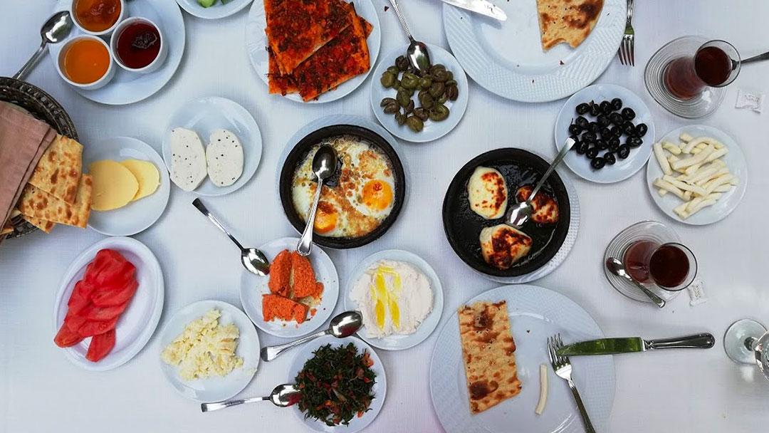
Hatay has unprecedented local tastes such as borani with spinach (a side dish made of yogurt), fellah meatball (made of bulgurwheat), bread with pepper, hummus (mashed chickpeas with tahini),muhammara (dish made of walnut, bread and tahini),oruk (ground meat and burgur burger),öcce (vegetable patty), sour black eyed-pee, Nazlı et yemeği (dish mede of minced meat and tomatoes),kunaffa with cheese (cheese filling dessert) and taş kadayıf (pistacho filled pastry in syrup).

Districts

  • Altınözü
  • Arsuz
  • Defne
  • Dörtyol
  • Hassa
  • Antakya
  • İskenderun
  • Kırıkhan
  • Payas
  • Reyhanlı
  • Samandağ
  • Yayladağı
  • Erzin
  • Belen
  • Kumlu