Skip to content
GeziBilen Dijital Rehber
City Guide

Kastamonu

Places to see, tried-and-tested routes and local stories for Kastamonu, all in one guide.
Area
1.834 Km²
Population
379.405
Number of districts
20
Kastamonu
Kastamonu photo 2
Kastamonu photo 3
City Information

Know before you go

The essentials about Kastamonu at a glance.
Kastamonu City Information

Area
1.834 Km²
Population
379.405
Number of districts
20
Number of neighborhood
162
Dial Code
0366
Plate Code
37

Geographical Location

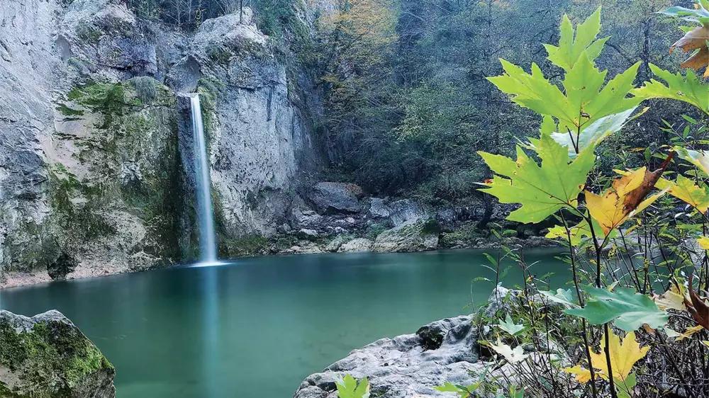
Kastamonu is located on the geographic coordinates of 41 ° 21 'north latitude and 33 ° 46' east longitude in the Western Black Sea Region. Six of the 20 districts of the city are known for their sea coast. Kastamonu, which has two different climate types due to its geographical location, is covered with snow on average 40 days of the year. The city also has a wide variety of vegetation and beech, fir, hornbeam, elm and linden are among the trees that are commonly seen.

Food Culture

In Kastamonu, which has a diverse cuisine reflecting its rich history, the most prominent delicacies are as follows: Etli ekmek (bread with ground meat), banduma (a dish made of pyllo dough and chicken or turkey), patates paçası ( soup made of potatoes), ekşili pilav (a dish made of bulgur wheat and mallow), puryan kuyu kebabı (roasted lamb kebab), simit tiridi (simit covered with minced meat), çekme helva (local flour halva), İnebolu simidi (famous local simit), rice made of siyez bulgur wheat, Kastamonu pastrami, cırık tatlısı (fried dough in syrup), kaşık helvası (oval- shaped flour halva), mıklama ( a type of omelet with minced meat), üryan eriği hoşafı (local type of plum juice), ground walnut filled fig in syrup.

Districts

  • Abana
  • Araç
  • Azdavay
  • Bozkurt
  • Cide
  • Çatalzeytin
  • Daday
  • Devrekani
  • İnebolu
  • Küre
  • Taşköprü
  • Tosya
  • İhsangazi
  • Pınarbaşı
  • Şenpazar
  • Ağlı
  • Doğanyurt
  • Hanönü
  • Seydiler