Things to See and Do in Nevşehir
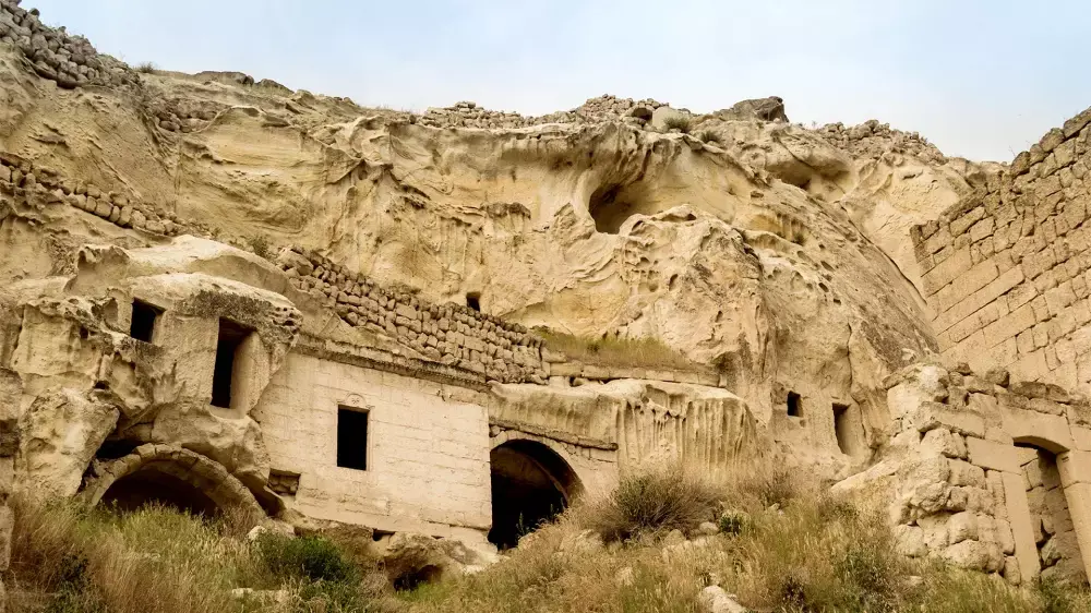
Belha Monastery
Nevşehir4.3
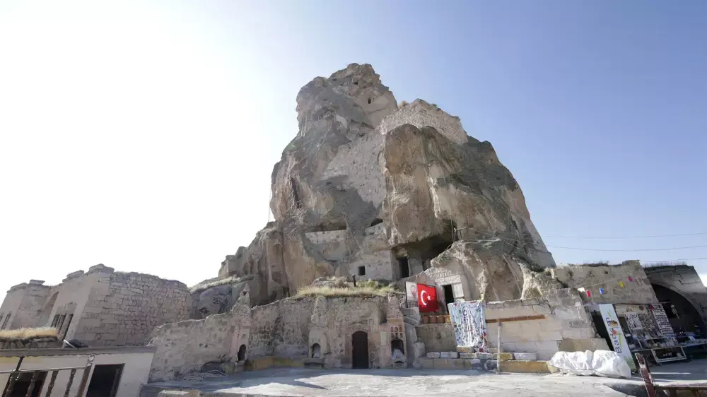
Ortahisar Castle
Nevşehir4.5
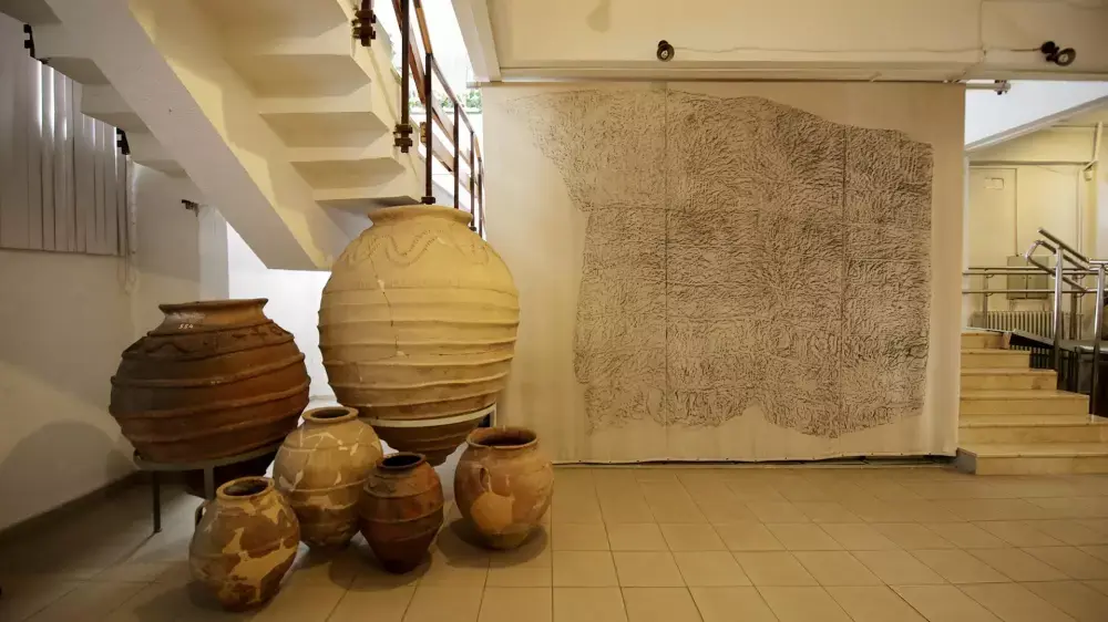
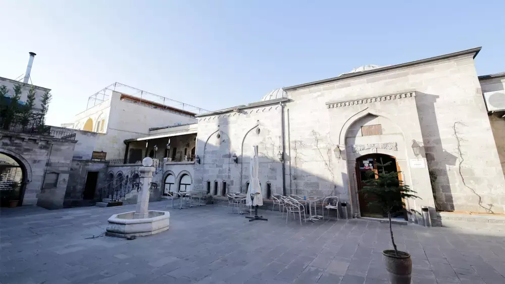
Nevsehir Museum
Nevşehir4
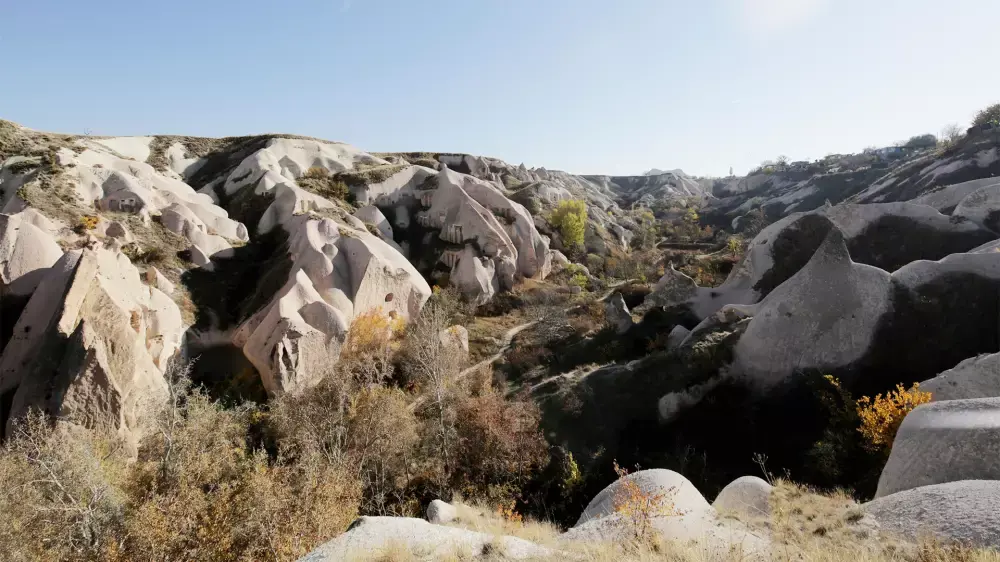
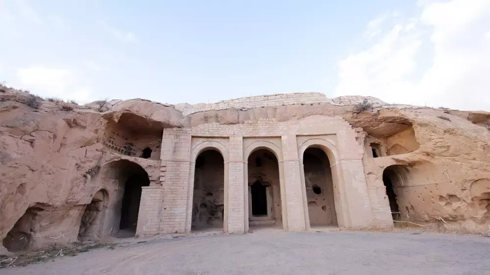
Güvercinlik Valley
Nevşehir4.8
Nevşehir Routes
Nevşehir for Those Can't Get Enough of Discovering
16 Travel Point4
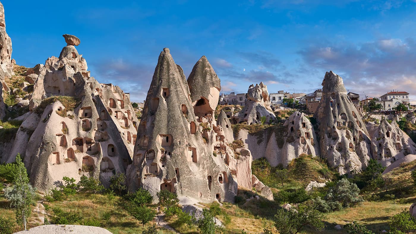
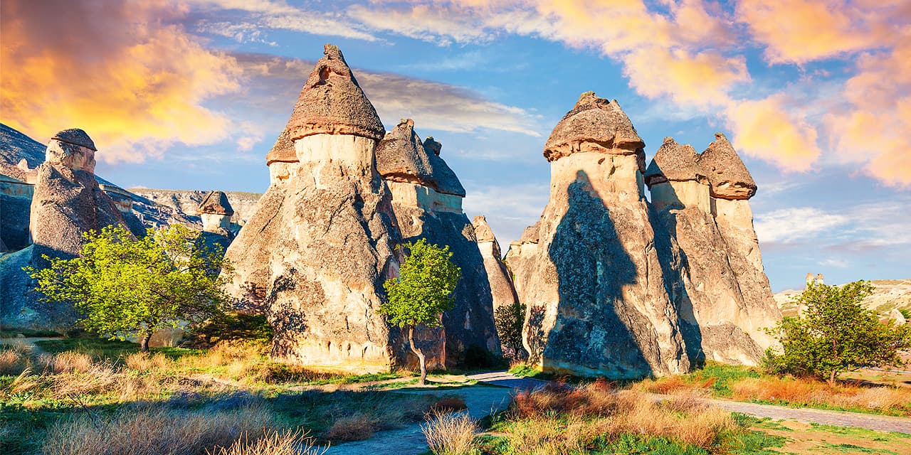
Fabulous Views of Nevşehir
10 Travel Point4
Quick Tour Essentials
8 Travel Point4
Adrenaline Tour
8 Travel Point4.3