Şanlıurfa with Numbers
According to the last population census, the ancient civilisations' capital, Şanlıurfa's population is 2 million 35 thousand 809 persons. Compared to a previous year, the population has increased by 2,52%, and 1 million 26 thousand 719 men form 50,43% of the population, while 49,57% represents 1 million 9 thousand 90 women. Besides, Şanlıurfa is the top city as accommodating the youngest population.
The city has a surface area of 19 thousand 451 kilometre-squares. With its population of 105 people per kilometre-squares, Şanlıurfa is the seventh biggest country in Turkey for the surface area. Şanlıurfa's coordinates are 37 degrees 10 minutes 2,6544 split seconds North latitude and 38 degrees 37 minutes 43,8468 split seconds Eastern longitude. It is also considered as the city with the oldest religious belief system because it covers Göbeklitepe, one of the oldest settlements in Turkey.
Şanlıurfa is a border city and it has 13 districts namely Akçakale, Birecik, Bozova, Ceylanpınar, Eyyübiye, Halfeti, Haliliye, Harran, Hilvan, Karaköprü, Siverek, Suruç and Viranşehir. Its number of neighbourhoods is 1392, and the city’s traffic code is 63.
Because of its geographical position, Gaziantep lies on the continental climate zone; therefore the summers are hot and dry, the winters are quite cold. The temperature difference between the day and night in winter and summer seasons are extremely much. The temperature is minus 0 centigrade degrees for 25 days in a year; thus, the city's flora is the steppe. However, the lands are covered with violet, tulip, field sorrel, daisy, cheeseflower, purslane and mustards. In addition, while 60% of its lands is the cultivation area, 38% consists of rangelands and meadow.
Şanlıurfa is a city of heights, and it has 13 hilly regions namely Karacadağ, Tektek Mountains, Susuz Mountains, Takutukur Mountains, Germuş Mountains, Nemrut Mountains, Şebeke Mountains, Arat Mountains, Kaplan Mountain, Remo Mountain, Küpeli Mountain, Kızıldağ and Kalazan Mountain.
It is a rich city with regard to water, and 11 water sources include Cülag water, Karakoyun Stream, Fırat River, Belih water, Cavşak water, Zengeçur water, Habur water, Halülülrahman Lake, Büyükgöl, Aynı Zaliha Lake and Küçükgöl.
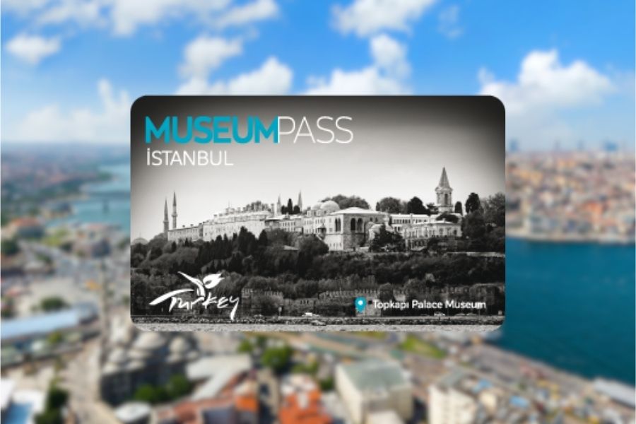
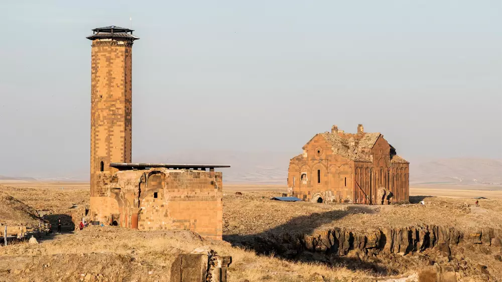
The city's tourism statistics increase every day at a great pace, and 2 million 100 thousand tourists came to visit Göbeklitepe Archaeological Site only in 2019.