Kastamonu with Numbers
Kastamonu’s first known history extends to the Hittites, and according to the last population census, its population is 383 thousand 373 persons. Its population has increased by 2,95%, 11 thousand persons, compared to the previous population census. The population of the city is formed by 191 thousand 431 men, 49,93% of the population, while 50,7% of the population represents 191 thousand 942 women.
Kastamonu’s coordinates are 41 degrees 22 minutes 35,8500 split second North latitude and 33 degrees 46 minutes 35,3892 split seconds Eastern longitude. Kastamonu is the eighteenth biggest city in Turkey with regard to its surface area, and accordingly, the number of people per square kilometre is 29.
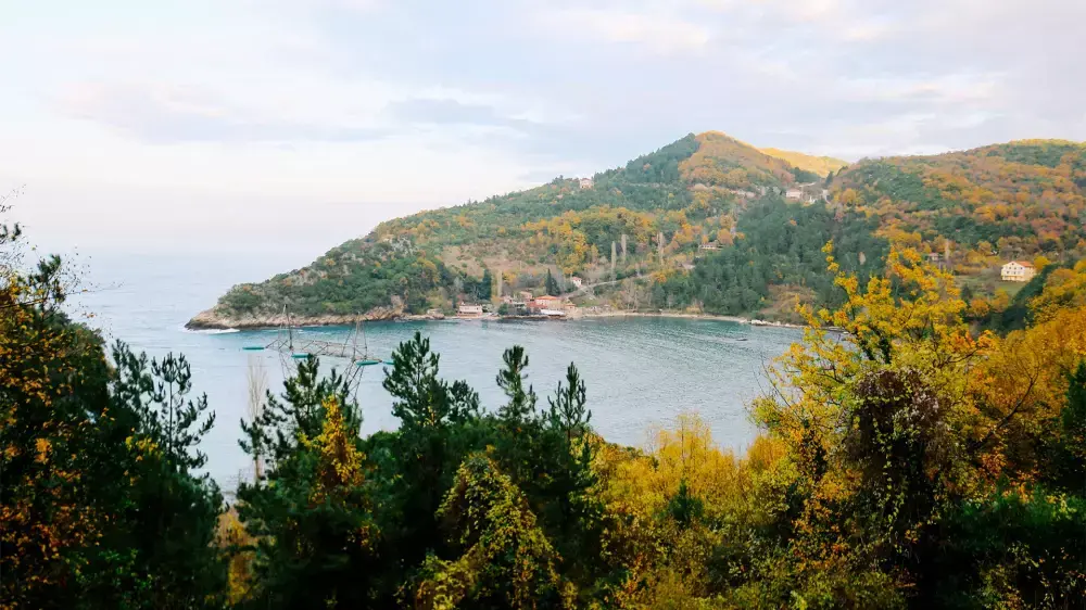
Two different climate types are observed in Kastamonu. While the Black Sea climate is prevailing in the northern parts of the city, the continental climate, unique to the Central Anatolia, is experienced in the southern areas. The city receives snow 20 days in a year and is covered with snow on average 40 days. The temperature decreases as low as -26,9 centigrade degree in the winter, and the summers are the hottest with 38,7 centigrade degree.
The city experiences two different climates, and thus, the flora is quite diverse around the city. 67% of the city is formed by the brushwood and forest, while 29% consists the cultivated areas. 6,5% of the city is covered with meadows and grassland, and only 1,5% of the city is arable land. Mostly fir, fagus, hornbeam, elm, lindens and chestnut trees are available in Kastamonu, and quite wide pine tree areas are found in Azdavay and Devrekani regions.
The city’s traffic code is 37, and it has total 20 districts namely Abana, Ağlı, Araç, Azdavay, Bozkurt, Cide, Çatalzeytin, Daday, Devrekani, Doğanyurt, Hanönü, İhsangazi, İnebolu, Küre, Merkez, Pınarbaşı, Seyidler, Şenpazar, Taşköprü and Tosya. The city has 162 neighbourhoods, as well as 1065 villages.


